Perry Takes on Pocahontas County: A Hike on the Black Mountain Trail
Good day, fellow amateur adventurers! Perry here, back with another edition of Perry Takes on Pocahontas County. This time, I decided to tackle the Black Mountain Trail—a 2.2-mile stretch connecting the Big Spruce and Williams River Valley Overlooks along the Scenic Highway. Sounds like a nice, easy hike, right? After all, the National Forest trail engineers designed this trail to link two scenic overlooks, so it must be beginner-friendly. Right?
Well, the answer is a bit of a “Yes” and a bit of a “No,” as I soon discovered. And for the record, I seem to have a knack for choosing beginner/intermediate trails—just check out my previous post about mountain biking on the “Two Mile Smile” trail for more of my learning experiences. Hey, someone’s got to be the guinea Perry!
Perry’s Mission
In this third blog of the series, I’m introducing a concept I like to call ‘Being Pre-Perry-ed’. It’s a new big part of my mission to document all the mistakes and mishaps I make, so you may avoid them. Consider me your personal trail tester. Your unabashedly honest authority on my own rookie moves, so you can enjoy your adventure with a little more insight. Let’s dive into what I learned on the Black Mountain Trail, so you can be better prepared for your own journey.
Timing Is Everything (Especially in Fall)
As the days get shorter, it’s easy to get a little too ambitious with your time estimates. I figured I had plenty of daylight left for a 4.4-mile round-trip hike, between two overlooks both hovering around 4,000 feet in elevation. It was 3:00 PM, after all—I had loads of time!
No, I did not.
I quickly sensed that it was 41-degrees up there. Actually, 8 degrees cooler than where I was previously enjoying the sunny afternoon. And it would drop faster in the shade. I had spent too much time snapping photos and reading historical markers, and soon realized I had neither a jacket nor a flashlight. And, of course, only my sunglasses—which are less than helpful once you’re in the shade and daylight starts to fade.
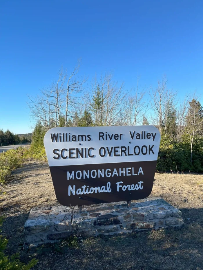
So, I made a quick adjustment. I drove to the Williams River Valley Overlook to scope out the other end of the trail. It turned out to be a good decision. By the time I finished the hike on the next attempt, I was glad to have an inkling of the end of the trail, vis a vis, how much daylight I had left.
Lesson #1: Always ‘Be Pre-Perry-ed’
So what does being “Pre-Perry-ed” mean? It’s simple! Always find out what Perry did wrong first! Yes! And no, silly! It means in plain language, always be prepared. In this case, it means arriving early, dressing appropriately for the conditions. Make sure you have the gear to tackle the elements, if the weather takes an unexpected turn. So, take note of my mistakes and learn from them: check your gear, check the weather, and plan your timing—especially in the fall and winter months.
A Gentle Start…Until It’s Not…and Then It Is Again
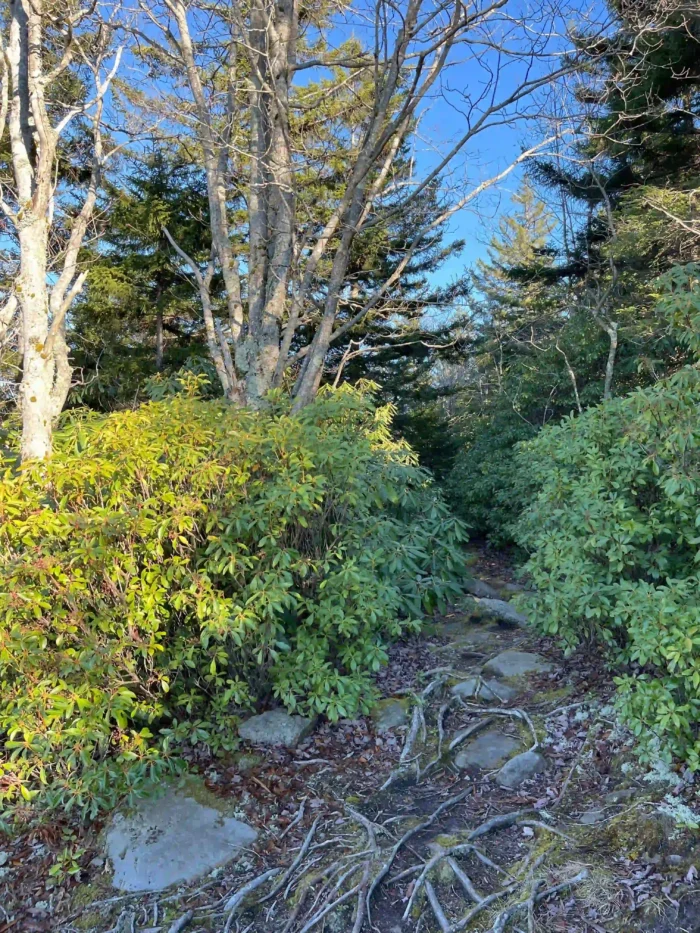
Whether you start at the Williams River Overlook or Big Spruce, the Black Mountain Trail initially starts relatively level either on a boardwalk or a rocky plateau. The trail then descends sharply before again leveling off onto a mostly smooth and level–although at times undulating–beginner-friendly path. Getting down the initial slope from the Big Spruce side of the trail was not a completely insignificant matter. If you’re new to hiking (or it’s been a while), this part of the trail might feel a bit daunting. BUT, it is significantly worth it!
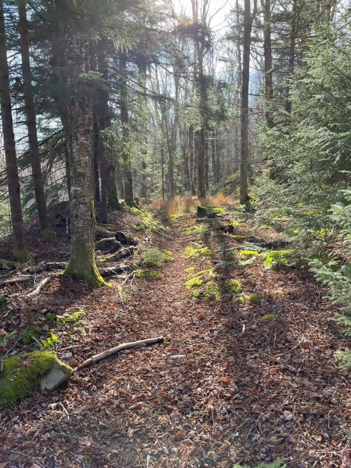
For this guy, it wasn’t long before I found myself experiencing some “jelly-leg-knee-shakies”—a special phenomenon that occurs when you’ve been hiking downhill for a while. Those especially prone are people who haven’t hiked in a while (raising my hand) or much ever. Hiking uphill, of course, is a completely different kind of challenge. But you’re thankful for a bit of uphill stretch, after having gone downhill for a good piece. Again, it must be said that it was completely worth it to get to the pleasantly level part of the path. The sunlight streamed sublimely through the spruce trees and rhododendron and illuminated the bright green moss.
Staying on Track
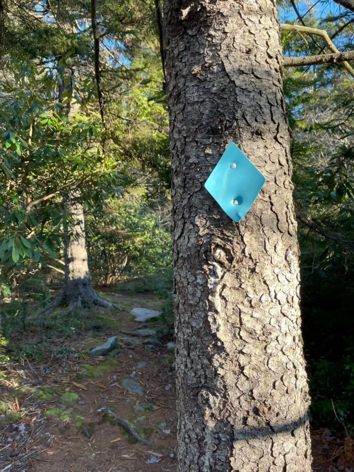
Following a trail through the woods is mostly a walk in the park, but sometimes can be deceptively tricky. It sounds simple, right? Keep your eyes ahead on the path. Glance down to watch your step. Keep an eye on the trail markers—the blue diamonds in this case. And you’re good! This trail was 98 percent of the time easy to follow. But it is always possible to get disoriented for a moment, especially when the trail bends sharply or is blocked by fallen trees. (And there’s always at least one or two of those, aren’t there?).
I encountered a huge downed tree blocking the trail for a good 15 feet on either side, but it was clear what to do. It was easy to see where to hop over and how most other hikers returned to the trail afterwards. But do always be extra careful when navigating a downed tree. Broken off branches can scratch and scrape. Not much further had the trail had gone beyond the tree, it doubled back parallel to where it was obstructed. There was a much easier shortcut I could have taken. So always consider your options thoroughly.
The End of the Trail
As I neared the end of the Black Mountain Trail, I again realized the daylight was fading fast. And also, I was getting more tired than expected. The trail is completely shaded by the mountainside, which means the sun set completely behind the top of the hill much earlier than you’d expect—by about 2:45 PM. By the time I had taken my rest and departed about 3:30pm to retrace my steps back across the trail it would have nearly been, at the earliest, probably between 4:45 and more likely 5pm.
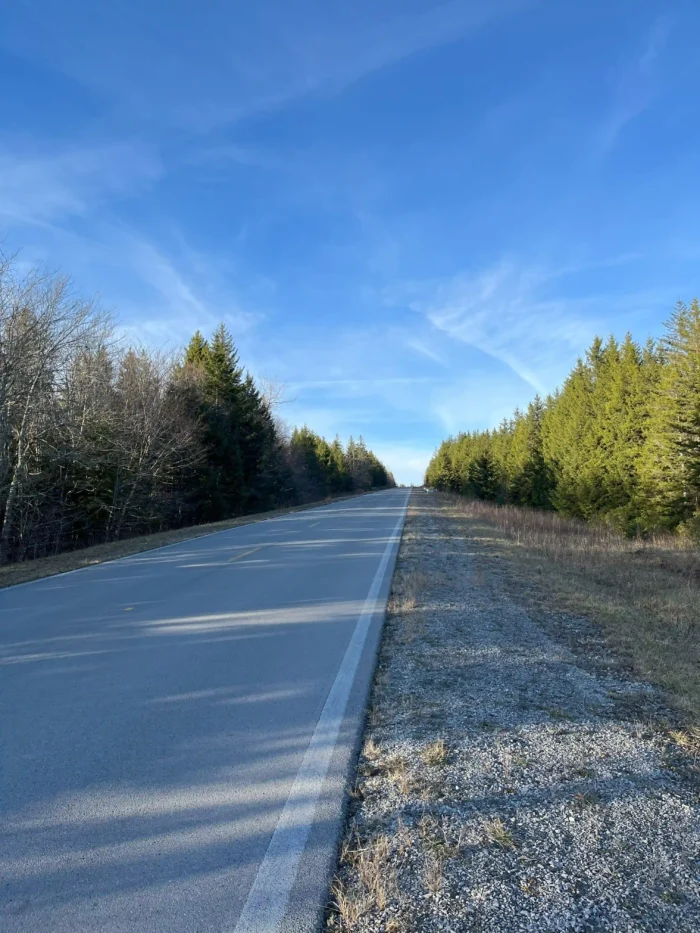
Lucky for me, there was an easier option. I walked along the sunny blacktop road back to the Big Spruce Overlook instead of retracing your steps on the trail. This road is safe to walk beside, with about a ten foot gravel berm to keep you out of the way of traffic. Indeed I did rest for about 25 minutes at the Williams River Overlook picnic shelter before heading back with this nice bear friend looking down on me from the roof above.

While walking and meditating on how refreshing and strengthening the challenge of the hike was, I did have a brainstorm. It would be very possible to drop off and lock a couple of bikes or E-bikes at one overlook. Drive to the other and do the hike. And then ride the bikes back to your car. E-Bikes would be recommended as there is a hefty uphill stretch from Williams River Overlook back up to Big Spruce. If regular bikes are preferred, the preferred order is locking bikes at Big Spruce and driving over to Williams River to begin the hike. Then hopping on bikes for level lope of 1/4 mile. After that it will be a coast mostly downhill from Big Spruce until it levels off with a slight incline back up to Williams River.
The Numbers
Here’s a quick breakdown of my hike:
- Trail Time: It took me 1 hour and 11 minutes to hike from the Big Spruce Overlook to the Williams River Overlook, taking my time and stopping for photos.
- Return Time: On the return leg, it took 35 minutes to hike back from the Williams River picnic shelter to my car. I drove back to check the distance—1.5 miles, with a 2-3 minute drive.
Final Thoughts
So, what have we learned today? As always, Be Pre-Perry-ed. Whether you’re hiking on Black Mountain or any other trail, preparation is key. Make sure you have the right gear. Plan your time according to the time of season. Keep your eyes on the trail ahead. Don’t let the seemingly “easy” trails fool you. They can surprise you in the best and the most challenging ways!
And above all, enjoy the journey. After all, that’s what it’s all about. Check A Guide to Hiking in Pocahontas County and request your Adventure Guide for all of the best information about Pocahontas County all in one place here.
